Abstract
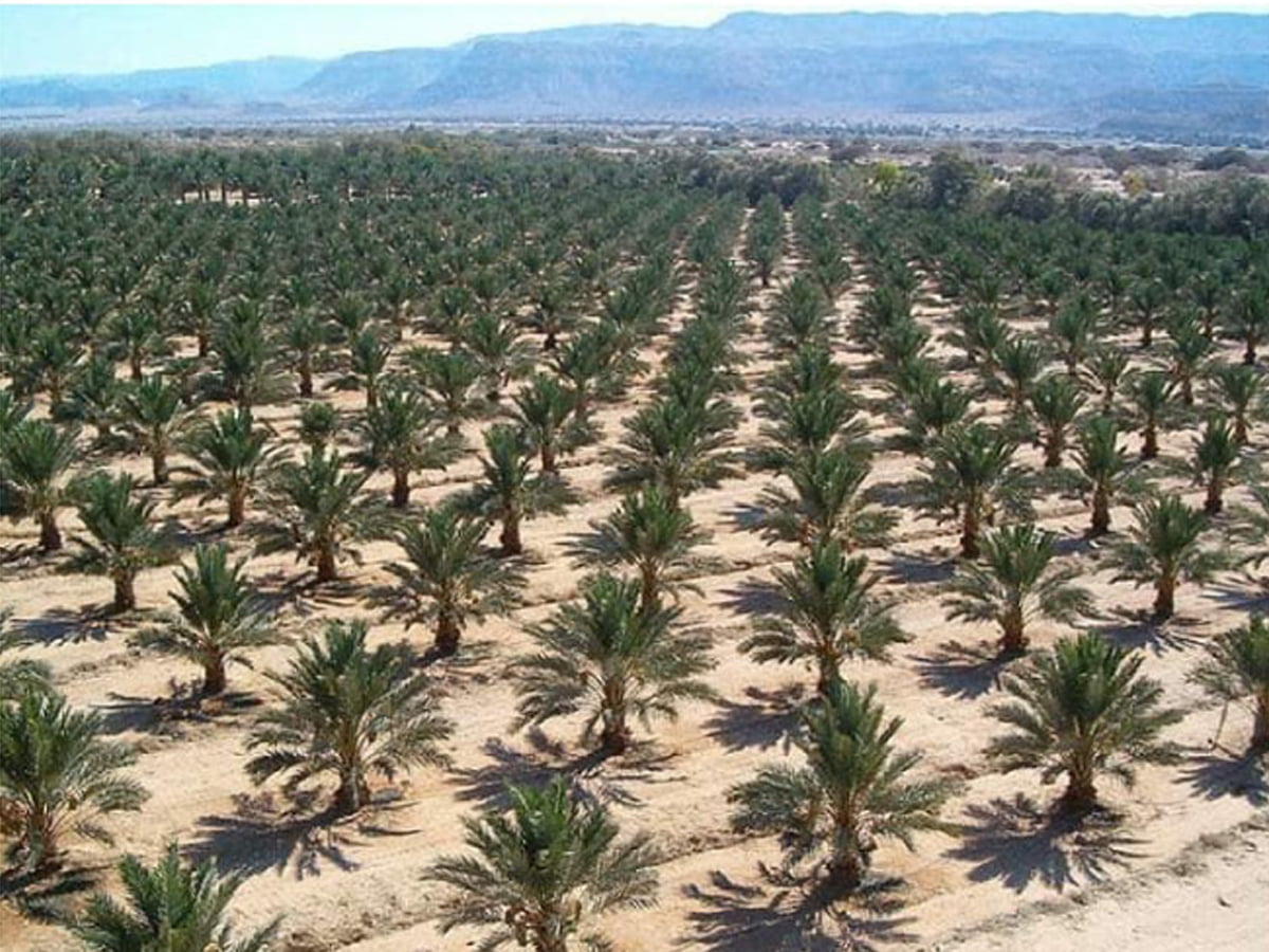
This study was carried out to estimate area, trees number, and density in addition to productivity of date palm trees in Semawa-Iraq city using Remote Sensing data and Geographic Information System. Study area was (3446) Km2 Normalized Difference.
Vegetation Index (NDVI) was used to create a map and extract the plant cover in the study area. A process of digital classification has been performed for NDVI and Landsat 8 image for extract date palm trees from it, depend on ground truth and Quick bird image, in addition to Google earth images of 2014 for inferred of date palm trees through these images and extract spectral reflectance values for date palm trees of it. The results of analysis illustrated that total area of date palm trees in the city was about (57) Km2 , the total number of date palm trees was about 1198425 trees, with density equal to (21025) tree per square Kilometer. The total productivity of the dates in the study area was (53,244) Ton.


اترك تعليقاً